Urban Decision OS
From regional signals to evidence-backed urban decision readiness.
- Advisory only
- Human review required
- Evidence-linked
- No automated action
Urban evidence motion surface
Spatial Evidence Suite
Baseline imagery to evidence pack assembly, prepared for governed human review.
What the platform does
- Municipal LayerMunicipal operations, permits, inspections, and service data.
- Market LayerReal estate, mobility, and economic activity signals.
- National SignalsNational datasets and policy program indicators.
- City Ground TruthVerified field and municipal feedback loops.
- Spatial EvidenceImagery, lidar, terrain, and 3D evidence at scale.
- Decision BridgeFrom insight to decision readiness with human review in the loop.
From signals to decision readiness
- Municipality
- Market
- National Signal
- City Ground Truth
- Spatial Evidence
- Dynamic Intelligence
- Human Review
- Decision Readiness
Spatial Evidence Suite
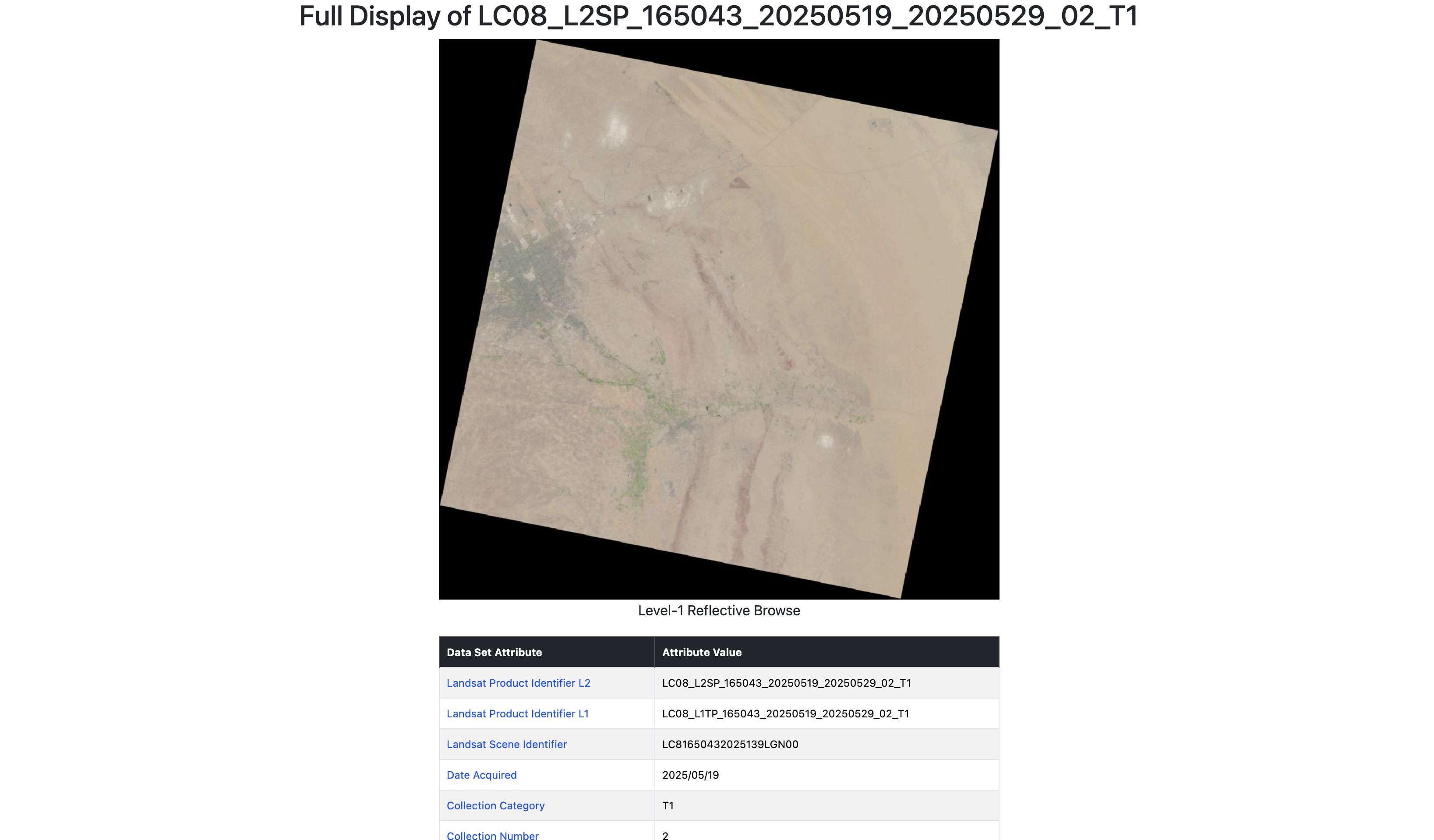
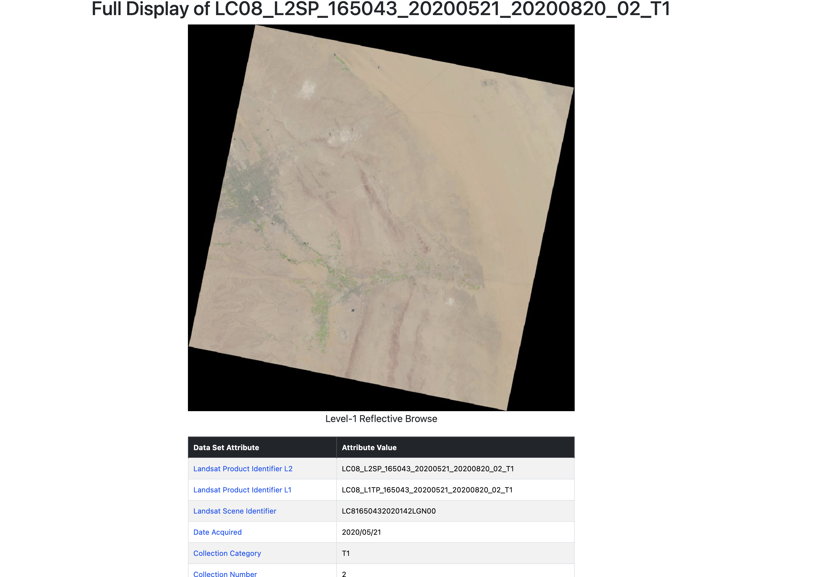
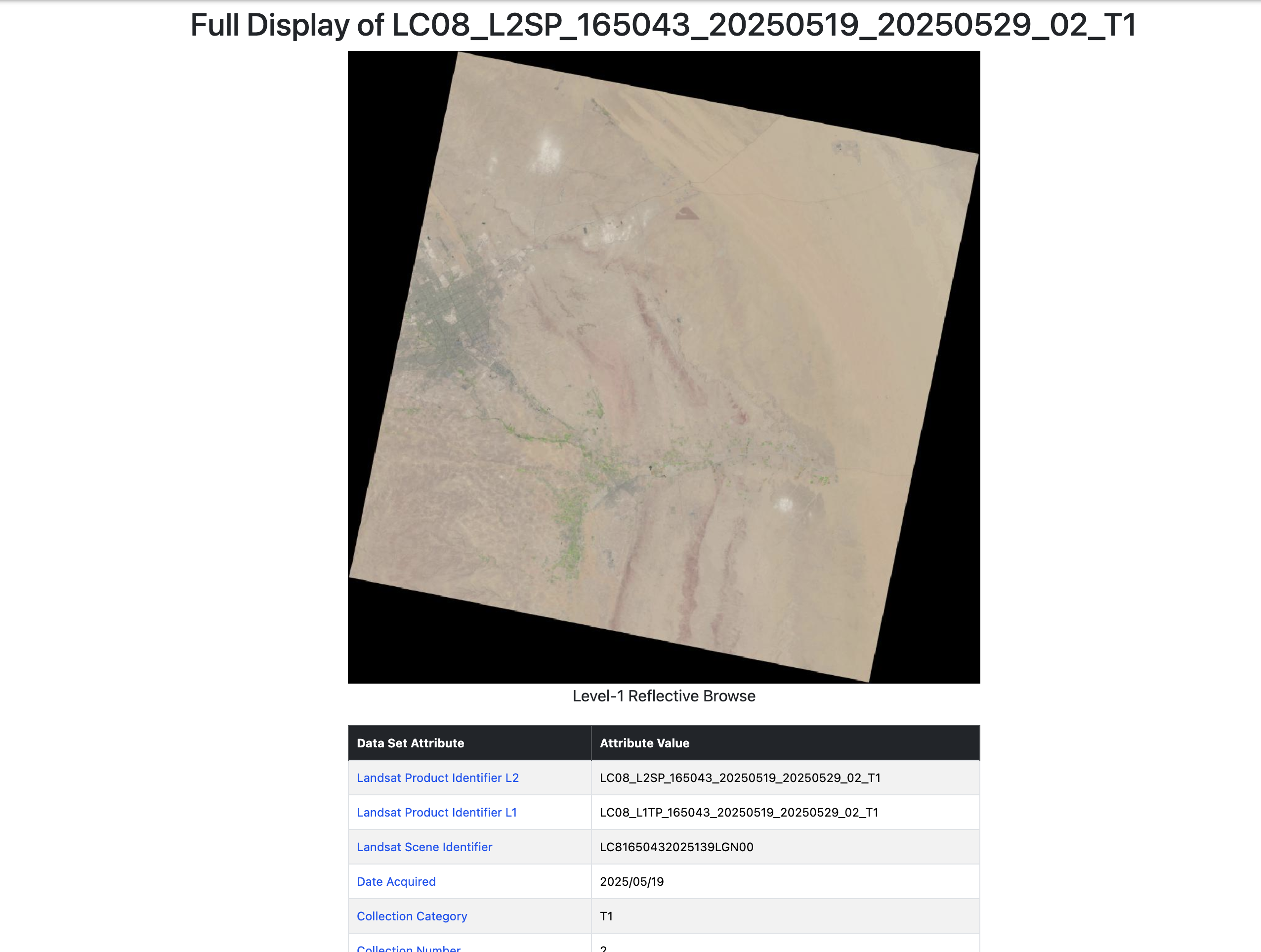
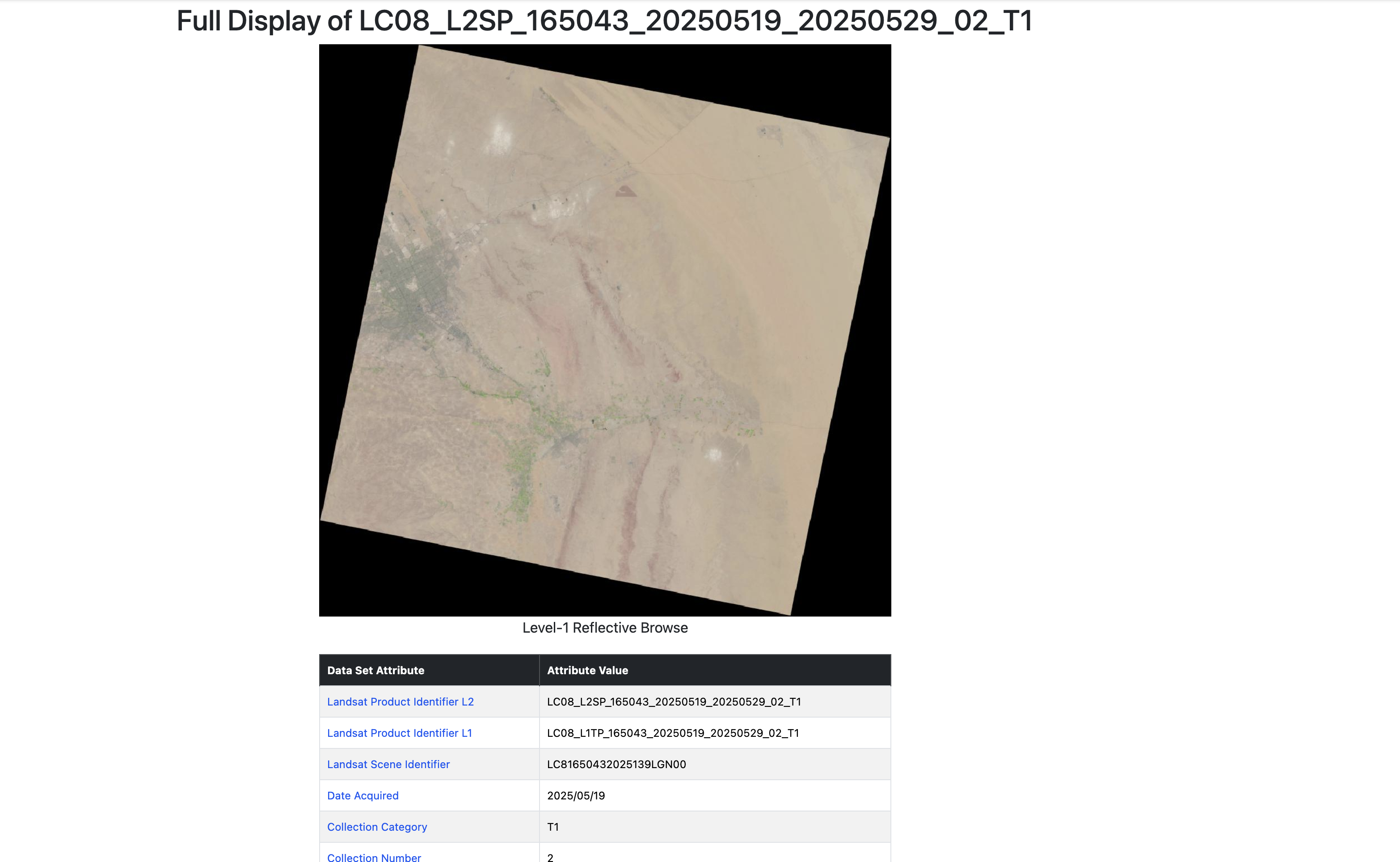
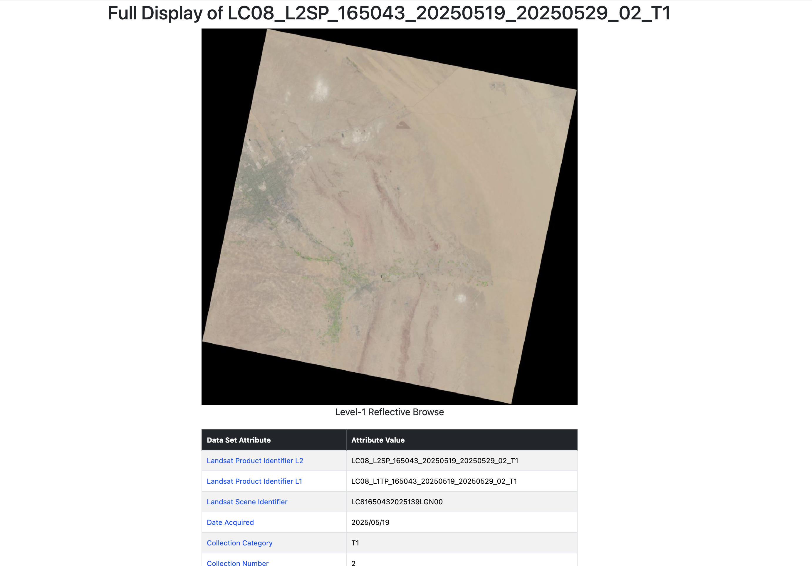
- Context ImageryHigh-resolution multi-source satellite and aerial imagery.
- Before / After EvidenceChange detection to identify what’s new and what’s changed.
- Surface ContextLand cover, zoning, and infrastructure at street scale.
- Terrain Candidate ContextSlope, elevation, and terrain suitability analysis.
- 3D Candidate Context3D buildings and city models for site understanding.
- Evidence Pack AssemblyAssemble, annotate, and export decision-ready evidence.
Human Review Required
Governance-First
Decision Readiness